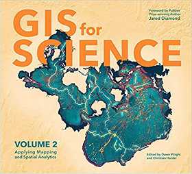
| GIS for Science, Volume 2 (Esri Press) |
| Monday, 11 January 2021 | |||
|
This book, subtitled Applying Mapping and Spatial Analytics, is a collection of current, real-world examples of scientists using geographic information systems (GIS) and spatial data science. Co-edited by Esri Chief Scientist Dawn Wright and Esri Technology Writer and Information Designer Christian Harder and with a foreword by Pulitzer Prize winner Jared Diamond, these case studies are part of a global effort to find ways to sustain a livable environment for all life on this planet. The contributors represent a cross section of scientists who employ data gathered from satellites, aircraft, ships, drones, and other remote-sensing and on-site technologies. This collected data is brought to life with GIS and the broader realm of spatial data science to study a range of issues including epidemiology in light of the COVID-19 pandemic; sustainable precision agriculture; predicting geological processes below the surface of the earth; using GIS near-realtime disaster response, recovery, resilience and reporting; and the latest innovations in monitoring air quality. Editors: Dawn Wright and Christian Harder
For recommendations of Big Data books see Reading Your Way Into Big Data in our Programmer's Bookshelf section.
For more Book Watch just click. Book Watch is I Programmer's listing of new books and is compiled using publishers' publicity material. It is not to be read as a review where we provide an independent assessment. Some, but by no means all, of the books in Book Watch are eventually reviewed. To have new titles included in Book Watch contact BookWatch@i-programmer.info Follow @bookwatchiprog on Twitter or subscribe to I Programmer's Books RSS feed for each day's new addition to Book Watch and for new reviews.
|


