| OpenLayers gets an update |
| Written by Alex Denham | |||
| Thursday, 06 October 2011 | |||
|
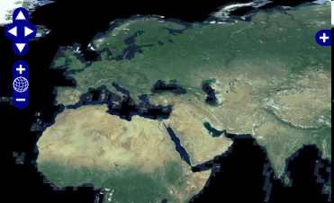
If you want to add maps to your apps, there’s a new version of OpenLayers, an open source map framework. OpenLayers is a JavaScript library for displaying maps in browser apps. It is used as the foundation for all the web mapping interfaces of OpenGeo, the open source geospatial software company.
OpenLayers gives you the means to overlay multiple standards-compliant map layers into a single application, so you can display tiles and images from sources such as Google Maps, Bing Maps, Yahoo Maps, OpenStreetMap, ArcGIS Server, and ArcIMS, as well as maps in WMS format variations. The library provides vector feature rendering and styling, and web-based editing. The new version of OpenLayers adds support for mobile maps, and the ability to drag and zoom using touch on mobile devices. The performance has also been improved from the previous release. Other improvements include support for direct tile access to Bing Maps, and better protocol support, including the addition of a JSONP protocol.
More information and to download:
To be informed about new articles on I Programmer, subscribe to the RSS feed, follow us on Twitter or Facebook or sign up for our weekly newsletter.
|
|||
| Last Updated ( Thursday, 06 October 2011 ) |


