| Mapbox Visual for Microsoft Power BI Upgrades Visualizations |
| Written by Kay Ewbank |
| Tuesday, 16 October 2018 |
|
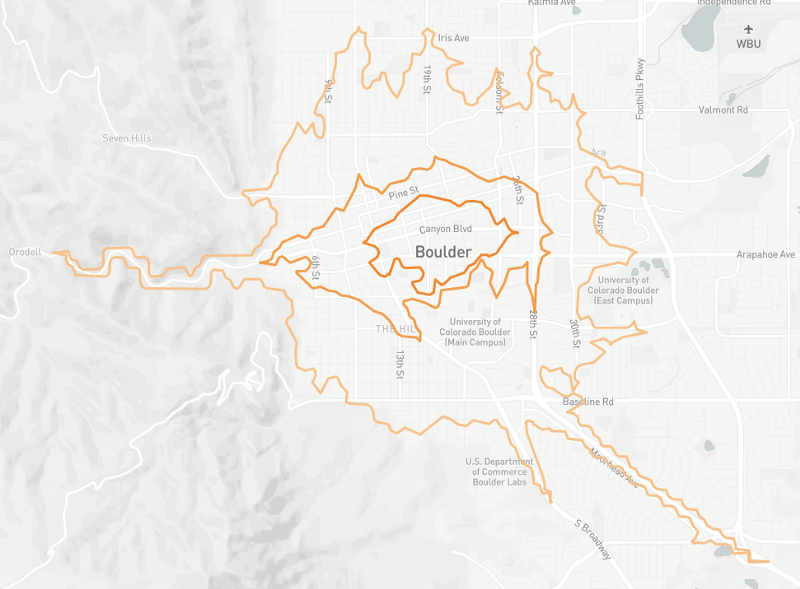
The Mapbox plugin for Power BI has been upgraded with support for 3D extrusions on fill maps and better handling for shape filters. Mapbox is best known for its custom online maps that are used for websites and apps. The company also develops and contributes to open source mapping libraries and applications. It has a number of libraries, SDKs and APIs that developers can use, including a JavaScript library that uses WebGL to render interactive maps from vector tiles and Mapbox styles, open-source MapsSDKs for embedding maps in web and mobile applications, and the Mapbox web services APIs for programmatic access to Mapbox map-related tools and services. Mapbox has also released a new Isochrone API. that lets you display isochrones on your map with a single API call. Isochrones show reachable areas, so can be used to display restaurants in a 10 minute radius of the current location, for example.
With a starting point and a mode of travel, the routing engine looks at surrounding geometry to delineate an area based on how long it takes to get there. With the Isochrone API, you can specify up to four contours and style them as you would with any geoJSON. Microsoft Power BI is a tool that lets you analyze and interact with big data, working within Excel. The Mapbox Visual for Power BI is a plugin that can be used to view and work with maps within Power BI. It includes features like heatmaps, cluster aggregations, and custom map styles. The updated version follows improvements over the Summer to provide support for choropleth fill layers, custom polygons, and the ability to drill down through fill layers. The main improvements to this release start with the ability to use 3D extrusions on fill maps. Users could already use data-driven coloring of polygons, and you can now add data-driven heights to the polygons. You can now autozoom to rendered shapes on the map when you're filtering your fill maps, abd you can set a default map pitch to get the most context around polygon heights.
More InformationRelated ArticlesGoogle Maps API Changes Billing Rules Bing Maps Improves BirdsEye Presentation Google Adds Smart Scrolling To Mobile Maps
To be informed about new articles on I Programmer, sign up for our weekly newsletter, subscribe to the RSS feed and follow us on Twitter, Facebook or Linkedin. 
Comments
or email your comment to: comments@i-programmer.info |